Start With a Map, Not a Guess
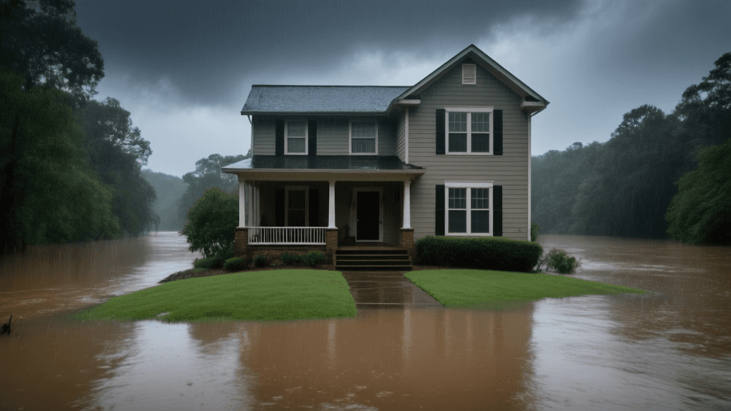
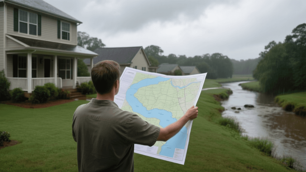
A flood map can help Woodstock homeowners understand whether a property is within a federally mapped flood hazard area, but it cannot tell the whole story of how water may reach a specific house. A shaded zone is useful information, not a complete prediction of damage, and an unshaded parcel is not a guarantee that flooding cannot happen. Begin with the address and the official FEMA Flood Map Service Center, then compare the map result with what you know about the lot, nearby creeks, street drainage, and past storms. This guide explains how to combine those clues into a more useful property-risk review.
What Flood Maps Show—and What They Do Not
FEMA maps identify areas with varying levels of mapped flood hazard and are used in some lending and insurance decisions. A Special Flood Hazard Area generally indicates a higher-risk area associated with a 1% annual chance flood, sometimes called the base flood. That phrase describes a statistical probability over time; it does not mean a flood occurs only once every 100 years. Maps are built from available studies and can change as development, terrain data, and modeling improve. They may not capture every localized drainage problem, overwhelmed storm drain, blocked culvert, or watercourse that rises during an intense downpour. Treat the map as a screening tool, not a property inspection.
Check the Official Map Carefully
Search the property address in FEMA’s Flood Map Service Center and inspect the map panel and legend rather than relying only on a search-result summary. Confirm that the map pin falls on the correct parcel: nearby streets and lot boundaries can make a small location error meaningful. Note the flood zone designation, map panel number, and effective date, and save a copy for your records. If a lender, insurer, or real estate professional has provided a different result, ask which map version and address point they used. For questions about local records or drainage concerns, Cherokee County and City of Woodstock offices may be able to direct residents to relevant planning or stormwater information.
Read the Property, Not Just the Zone
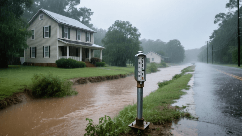
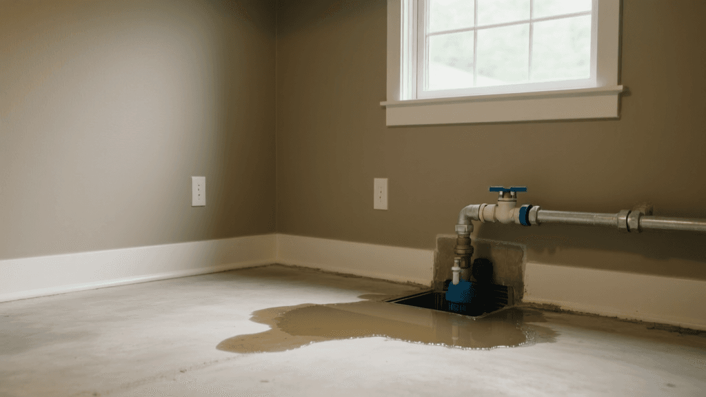
Walk the lot after ordinary rain and observe where water flows, where it collects, and how quickly it drains. Look for a basement or crawlspace below surrounding grade, low window wells, water staining, sump pumps, patched foundation cracks, or erosion near the house. Notice whether downspouts discharge close to the foundation and whether neighboring yards or paved areas send runoff toward the property. In Woodstock, wooded slopes, changing grades, and creek corridors can create very different conditions from one block to the next. A home outside a mapped high-risk zone may still face nuisance flooding or costly water intrusion from intense rainfall.
Consider Elevation, Drainage, and Nearby Water
Elevation certificates and professional surveys can add detail when the map alone leaves questions, especially for a property close to a mapped boundary or with a low first floor. A surveyor or qualified floodplain professional can help identify building elevations and compare them with applicable flood information. Also consider the route water would take: nearby streams, culverts, roadside ditches, retaining walls, and storm drains can affect how runoff moves. Do not assume a creek must be immediately beside the home for water to be relevant; upstream rain and constrained drainage can influence conditions farther away. Keep photographs and notes after storms, since dates and observed water levels can help explain recurring patterns.
Use Local Context Around Woodstock
Woodstock’s mix of established neighborhoods, newer construction, wooded parcels, and changing development means flood exposure can vary considerably within a short distance. Heavy rainfall can produce rapid runoff where roofs, roads, and other hard surfaces reduce the ground’s ability to absorb water. Homeowners in Canton, Holly Springs, and nearby parts of Cherokee County may encounter similar questions, but each parcel still deserves an address-specific review. Check whether local planning or stormwater resources identify nearby streams, drainage projects, or known trouble spots, and ask neighbors about repeated road closures or yard flooding without treating anecdotes as a substitute for official information. Conditions can also change after construction or landscape alterations.
Turn Findings Into Useful Questions
Practical Property-Risk Checklist
- Confirm the exact parcel, FEMA map panel, flood zone, and effective map date before making a coverage decision.
- Inspect grading, gutters, downspouts, foundation openings, crawlspaces, and low areas after rainfall.
- Ask whether the home has a history of water intrusion, prior flood claims, drainage work, or elevation documentation.
- Contact local government offices for available floodplain or stormwater information when a map result is unclear.
- Ask an insurance professional what a homeowners policy covers, what flood coverage may address, and which exclusions or limits apply.

Review Insurance Before the Next Storm
Standard homeowners insurance generally does not cover flood damage as a flood policy would, so confirm the wording and limits of the policy rather than relying on assumptions. Flood coverage may be available through the National Flood Insurance Program or private insurers, but eligibility, definitions, waiting periods, covered property, and limits differ. Ask how the policy treats the building and its contents, whether basements or below-grade areas have restricted coverage, and what deductible applies. A lender may require flood insurance for certain loans when a building is in a designated high-risk zone, but a requirement is not the only reason to consider protection. Compare options early because coverage may not take effect immediately.
A Clear Next Step for Woodstock Homeowners
A useful review combines the official map result with the home’s elevation, drainage, construction details, and history of water problems. Keep the map panel information, photos, inspection notes, and any elevation documents together so you can discuss the property consistently with a surveyor, local official, lender, or insurance professional. If a parcel sits near a mapped boundary, request clarification before a real estate or lending deadline creates pressure. If it is outside a high-risk zone, still consider whether intense rainfall, runoff, or sewer backup could create a separate concern. Comparing policy terms and asking specific questions is a practical way to make an informed decision for a Woodstock home.
Make Your Flood-Risk Review Property-Specific
Gather your map result and property notes, then compare available coverage options with a qualified insurance professional.
Get a Free Quote